Showing posts with label Kootenay. Show all posts

Tuesday, 23 July 2013

Kids Hikes in Banff, Kananaskis, Kootenay and Beyond

Kids Hikes in Banff, Kananaskis, Kootenay and Other Areas in the Canadian Rocky Mountains

If you're looking for a good trail to take your kids hiking in Banff National Park, Kananaskis, Kootenay National Park or somewhere else in the Canadian Rocky Mountains, you'll find it here.

Banff National Park

Click here to check trail conditions in Banff National Park.

Kananaskis

Click here to check trail conditions in Kananaskis.

Kootenay National Park

Click here to check trail conditions in Kootenay National Park.

Monday, 15 July 2013

Hiking with Kids in Kootenay National Park: Stanley Glacier


Stanley Glacier is one of those trails I've wanted to hike for a while, but that never made it far enough up the list to actually do it. But after I realized that my two sons (then 6 and 11) were more than ready for a bigger challenge, it was a natural pick for a kid's hike.

Click here for more kids hikes in Banff, Kananaskis, Kootenay and other areas of the Canadian Rockies.
 
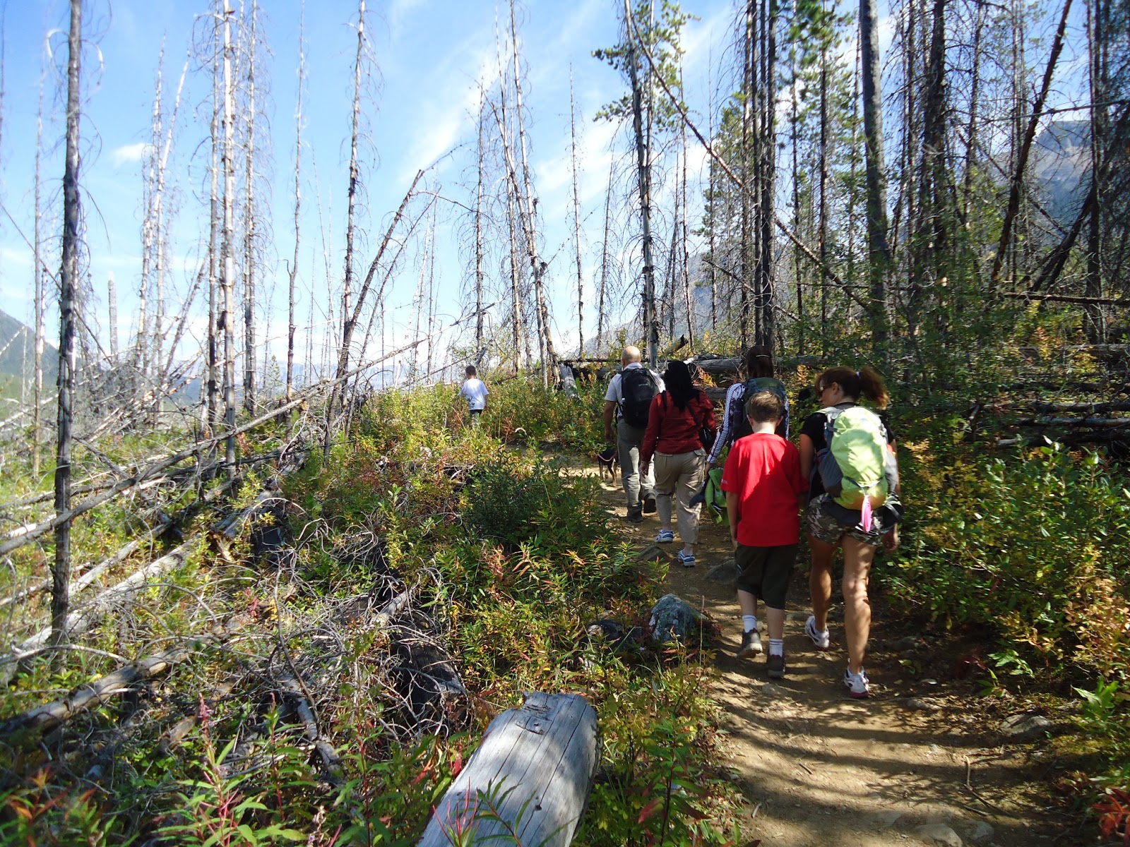
A few kilometers west of the Alberta/British Columbia and Banff/Kootenay border on Highway 93, the trail starts uphill almost immediately. You cross a small bridge and suddenly you're switch-backing through a forest in the process of regeneration after forest fires in 1968 and 2003. Depending on your mood, the scene can seem surreal: At your feet the forest floor is lush, green and flowing; above the ground, charred tree trunks sway in the breeze.

After initially quickly gaining elevation, in three quarters of an hour (at kid speed) or so the trail
starts to ease and you find yourself at the mouth of a valley sided with sheer rock on either side. This gradually narrows as the plants covering the ground and the trees thin until you find yourself above the treeline. Shortly after passing the last tree, you're greeted by a sign announcing that you've reached the end of the trail. Although the option exists to continue hiking further and see the glacier close up, we decided to stop, have lunch and explore. Although the kids would have been game to keep going, the puppy we'd brought along was pooped. Any further and she'd have had to ride along in a pack. As it was, we thought we'd lost her until we found her sleeping under one (see photo below).
 
Distance: About 8.5 km return
Roundtrip Time: 3 to 5 hours
Elevation gain: About 400 m

Driving Directions: Take the Trans-Canada west from Calgary to the turn off for Highway 93 to Radium. Head towards Radium for about 12.8 km and turn into the Stanley Glacier parking area.  Click here to see a driving map.


Wednesday, 26 June 2013

Flooding in Banff and Kananaskis: Where to find up-to-date information on road and trail conditions

The floods that hit Canmore, Banff, Kananaskis, Waterton and other areas of the Canadian Rockies will be felt by the outdoor community for the rest of the summer, and probably well beyond. With all the misinformation flying around the Internet--and credible up-to-date information often difficult to find--I thought I'd put together a list of links where you can find the trail and road condition information you need to make decisions about getting out to the mountains.

General Mountain Conditions

Banff National Park

The Banff townsite is open. Check the links below for the latest information on how to get there and what you can do once you're there.

Canmore

If there's a central page for flood related information, I couldn't find it on the Town of Canmore website. You'll have to click around to find specific information, but it's there:

Jasper National Park

Kananaskis Road and Trail Conditions


Kootenay National Park

Kootenay isn't reporting any damage or closures from the flooding.

Waterton Lakes National Park

Waterton had some flooding damage and road closures, but remained open and accessible.

Yoho National Park

Yoho wasn't affected by the flooding.
Related Posts Plugin for WordPress, Blogger...